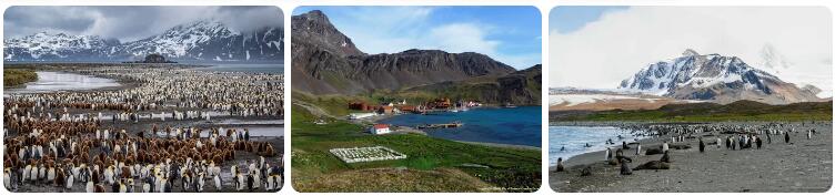
Climate of Chile
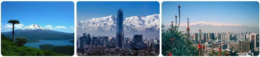
Where is the country of Chile located? Chile is an elongated country in the southwest of the continent of South America. At about four and a half thousand kilometers in length, Chile is the longest country in the world. Chile is located along the Andes Mountains: the west is coastal area along the Pacific Ocean and the east is the western half of the Andes Mountains, which in the south merges almost silently into Tierra del Fuego. This archipelago has a cool maritime climate (type Cfc according to the Köppen climate classification), with the weather inviting enough for few to settle here permanently. More northwards Chile has a transition to a temperate maritime climate, a temperate Mediterranean climate, a cold steppe climate and a cold desert climate. The extreme northwestern tip has a warm desert climate based on average annual temperature.
4 seasons
Chile has four seasons, which are opposite to our seasons. This is because Chile is located in the southern hemisphere. Summer lasts from December to February, autumn from March to May, winter from June to August and spring from September to November. The differences between the seasons are apparent on the one hand from the temperature differences, on the other hand from the amount of precipitation that falls. Winter is the wet period, especially in the south of Chile, the summer is the drier period. The total amount of precipitation within Chile varies enormously. For example, Valdivia, located in central Chile, registers more than 2700 millimeters of rain per year, while Iquique has to make do with an annual sum of only 0.3 millimeters. This makes this city in the north of Chile extremely dry. All the way south, in Fireland, the amounts of precipitation decrease compared to the wet part south of the capital Santiago. The extreme south of Chile has no significant differences in the, but the temperatures do indicate seasonal differences.
Climate figures
The figures below are based on long-term average climate statistics. The temperatures are displayed in degrees Celsius (°C).
| Maximum temperature | Minimum temperature | Hours of sunshine per day | Days of rainfall per month | |
| January | 26℃ | 14℃ | 11 | 2 |
| February | 25℃ | 14℃ | 10 | 2 |
| March | 23℃ | 12℃ | 9 | 2 |
| April | 19℃ | 9℃ | 7 | 3 |
| May | 16℃ | 6℃ | 4 | 4 |
| June | 13℃ | 4℃ | 4 | 6 |
| July | 13℃ | 3℃ | 4 | 7 |
| August | 14℃ | 4℃ | 5 | 7 |
| September | 16℃ | 5℃ | 6 | 5 |
| October | 20℃ | 9℃ | 7 | 4 |
| November | 23℃ | 11℃ | 9 | 3 |
| December | 25℃ | 13℃ | 10 | 2 |
Best time to visit Chile
Do you want to know when is the best time to travel to Chile? You can determine the best time to travel to a destination based on the weather and climate. In addition, there are other factors that are not directly related to the weather and that can influence the best travel periods for a travel destination. Think, for example, of holidays or festive periods, which makes traveling more interesting or not, because daily life comes to a standstill as a result. If you look up Chile on the world map, you will see that the country has a special shape. Chile is extremely elongated (about 4300 kilometers long) and lies between the 17th and 56th degrees south latitude. That this South American country has a great variety of climate types will therefore come as little surprise. There are significant differences in terms of temperatures, rainfall and number of hours of sunshine. For example, the city of Iquique in the north is one of the driest places in the world. On average, less than 1 millimeter of rain falls annually. It almost never rains there. In the southern Valdivia there is much more precipitation: about 1800 millimeters per year. If you look at the temperatures, you will see that in Punta Arenas the mercury barely rises above fifteen degrees in the summer and that it can freeze in the winter,
Best months
In a country where there are so many climate differences, it seems difficult to indicate the best travel period. In practice, however, this is not so bad. You can say that December to February is the best time to travel to Chile. It is pleasantly warm in a large part of the country, without it really getting too hot. The capital Santiago is one of the hottest places with an average maximum temperature of about 28 to 30 degrees during the local summer. If you want to travel to Fuegoland in the far south, you can count on twelve to eighteen degrees during the day. The summer period, which coincides with our winter in Chile, is by far the sunniest period in the whole country. Those who want to travel through Chile will have the greatest chance of blue skies in the months of December and January.
Easter Island
If you want to travel to the special Easter Island, which is located about 3,700 kilometers west of mainland Chile, it is best to do so in the period from November to March. Because this is the high season to visit Easter Island, you will have to deal with higher prices for air tickets from Santiago de Chile and more crowds on the island than during other months. A good alternative to avoid the high season on Easter Island is the month of November or possibly October. It is then slightly cooler and slightly less sunny, but still pleasant.
Best time to visit Easter Island
Do you want to know when is the best time to travel to Easter Island? You can determine the best time to travel to a destination based on the weather and climate. In addition, there are other factors that are not directly related to the weather and that can influence the best travel periods for a travel destination. Think, for example, of holidays or festive periods, which makes traveling more interesting or not, because daily life comes to a standstill as a result. Of all the holiday destinations out there, Easter Island is one of the most remote places on Earth. That alone makes this a true ‘bucket list destination’. The number of tourists who visit this enchanting place every year is limited. This is partly due to the small number of flight connections, which means that there is a limit to the number of people who can fly to Rapa Nui. If you do not get a ticket in the high season, you choose to go in the low season, as far as you can still speak of that. Whoever flies to Easter Island will have to deal with a subtropical climate that has traits that are more associated with a tropical climate. The speed with which showers arise, but also leave again, is special. It does not matter in which month of the year you travel to Easter Island.
Best months
The best time to travel to Easter Island is from November to March. This is the summer period on Easter Island. That’s because you’re here in the Southern Hemisphere, where the seasons are opposite to those in the Northern Hemisphere. During the summer you can count on afternoon temperatures that are on average around 23 to 28 degrees. In the evening it cools off a bit, but it remains pleasant for a long time. The disadvantage of the high season is that the accommodations are more expensive, just like the airline tickets, which are quite scarce, especially at the end of December and in the first half of February.
Easter Island in low season
If you choose to avoid the busiest period, you still have to deal with quite pleasant temperatures and fairly changeable weather. The only disadvantage of the winter period is that the wind can feel a bit cooler and that clouds are often more persistent. As a result, you have the chance that it sometimes remains almost gray for a whole day. In the worst case, you have several days with some unpredictable weather.
Same
The busiest weeks on Easter Island are during Tapati. This is a large-scale festival in which the culture of Rapa Nui (that is what the islanders call their island) is highlighted in every possible way. Sports competitions and games are organised, people walk around in traditional dress and make-up and every evening there is a big show in Hanga Roa, where song, dance and other performances can be admired for free. This is by far the best travel time to visit Easter Island. Tapati starts in late January or early February and lasts over two weeks.
Best time to visit Patagonia
Patagonia is an area located in the southern part of South America. Patagonia, also known as Patagonia, is spread over two countries: Chile and Argentina. Some also consider the more southerly located Fireland to be Patagonia, but that is not right. Officially, the region started south of the Colorado River which lies around latitude 41 and ends at the Strait of Magellan. This means that Patagonia has a total length of more than 1600 kilometers. You can therefore not just talk about the weather or climate of Patagonia. After all, there are such big differences. In northern Patagonia, tropical temperatures can occur during the local winter, while moderate to severe frosts can occur in the southern regions. Those who travel to Patagonia will do so mainly because of the glaciers. In particular, the bright blue colors of the Perito Moreno Glacier have a huge attraction for tourists who travel to Argentina (and/or Chile) mainly for nature. Looking at the weather, November to February is the best time to travel to Patagonia. This is the local summer, as the seasons are reversed from those in the northern hemisphere. During the day it is mild to warm and the nights are not too cold. It is also the sunniest and less wet period of the year. The only downside to traveling during peak season is that prices skyrocket due to increased demand for airfare, accommodations and excursions.